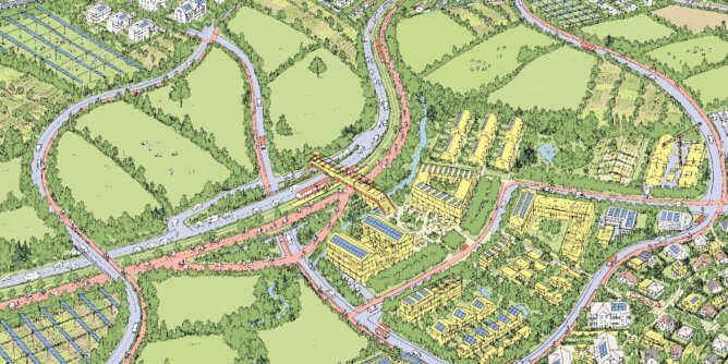
The solar register


The solar cadastre: an ambitious project serving the SNCF Renouvelables subsidiary.
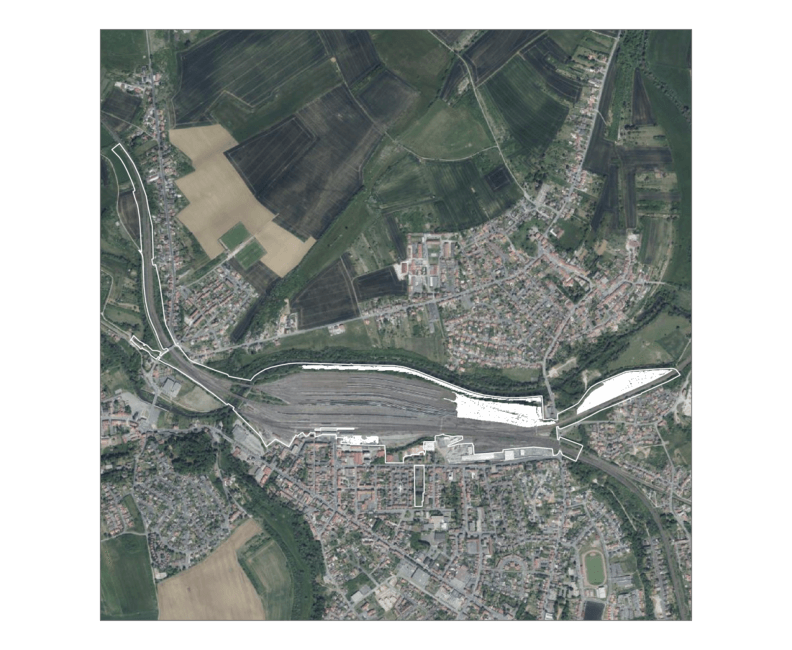
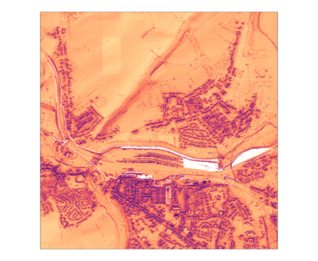
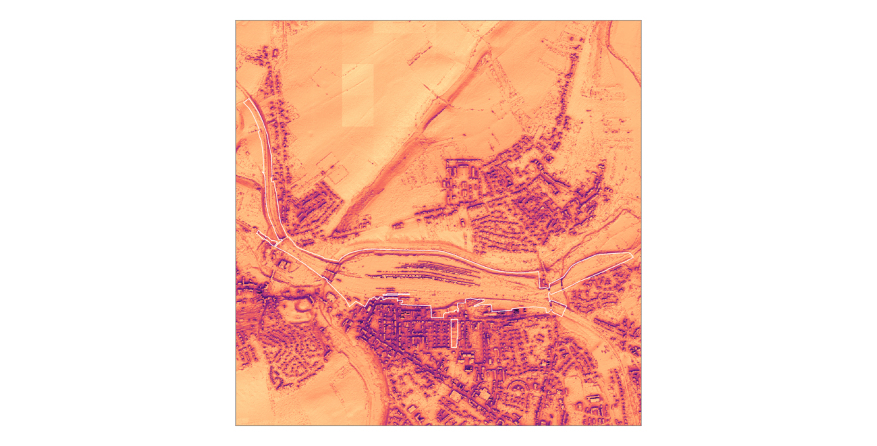
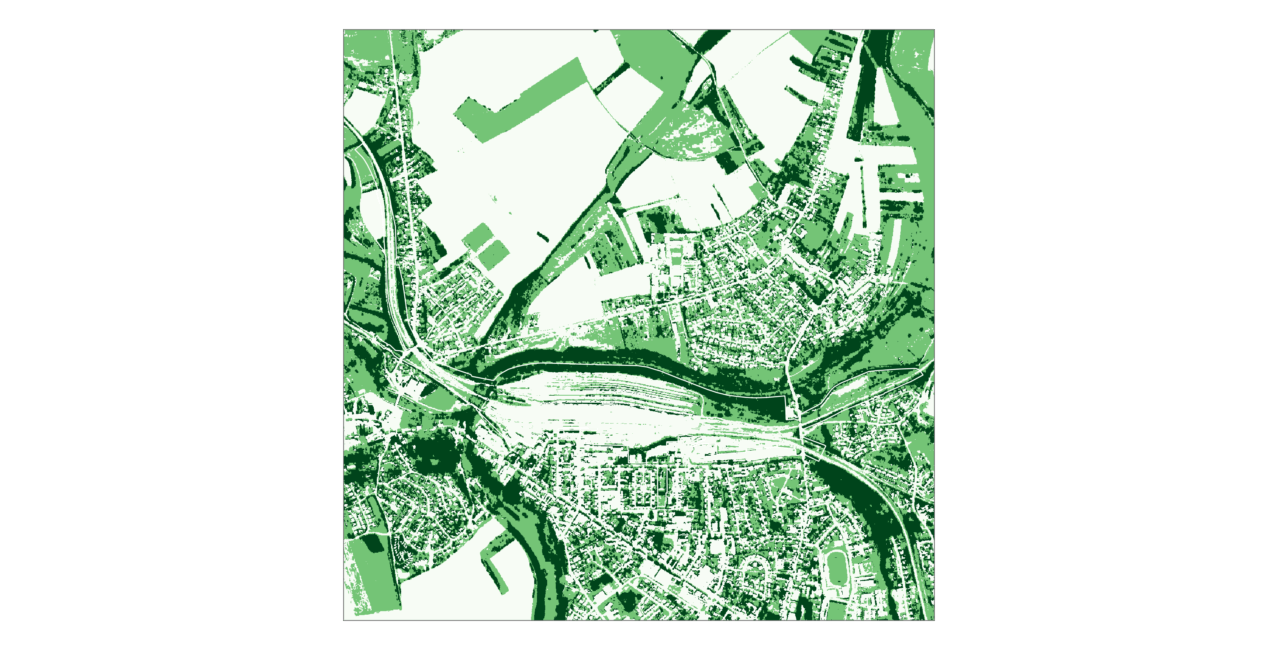
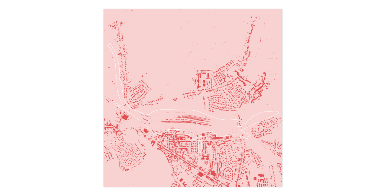
AREP Group has leveraged its full solar expertise to assist SNCF Group in assessing the solar potential of its 113,800 hectares of land by combining its skills in mapping, data analysis, and modelling.
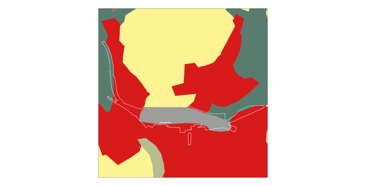
The aim was to create a comprehensive inventory of all relevant sites, prioritised for deployment, to outline a portfolio of projects. To achieve this, AREP developed a unique and innovative tool, the “SolAREP.”
This tool integrates technical constraints with physical (e.g., sunlight exposure), operational (e.g., proximity to railways), regulatory (e.g., protected areas), and economic factors (e.g., target IRR, electricity costs). This was done in collaboration with representatives from all SNCF entities, including SNCF Immobilier and SNCF Réseau.
The analysis was enriched with open data from sources like IGN, Open Street Map, and Enedis. Each SNCF landholding was evaluated to identify those suitable for solar panel installations, forming SNCF’s solar cadastre.
The analytical script powering “SolAREP” was developed using the open-source software “R.” This allows for easy updates to the solar cadastre in response to changing assumptions or field data. As a result, “SolAREP” adds to AREP Group’s suite of modelling tools supporting a post-carbon future, including “Mobility” (passenger mobility), “Silvia” (carbon stocks and flows in biomass and soil), “VisuMétéo” (contextualised weather and bioclimatic data), and carbon and energy calculators (assessing the climate impact of construction projects and energy consumption). Some of these tools are published as open-source solutions.
AREP Group offers a unique combination of expertise dedicated to renewable energy solutions.